(this post is a bit belated, as it took me a couple days to get this site up and running. but better late than never!)
I took my first walk around my study area today – the 24 degree weather seemed as good an excuse as any. My plan is to survey the area east of 105 St and south of jasper ave, all the way to the river. It should be in interesting sample of the city, because there’s so much variety within a relatively small area – everything from downtown highrises to groomed residential areas to the wilderness of the river valley. In a way, it’s a cross-section of the city: there’s business developments, homes, and recreational areas. And, as I discovered hiking up the steps by the Chateau Lacombe, there’s quite a big elevation change too, making it somewhat of a vertical cross-section.
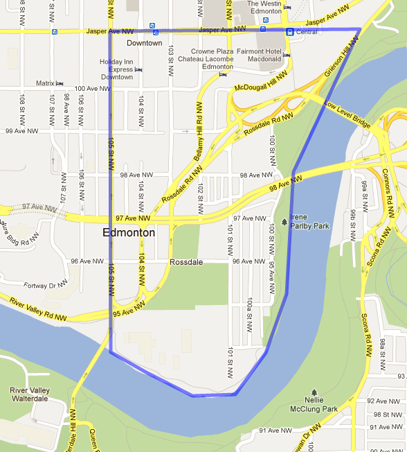
planned study area
I find that I’m thinking of the area in terms of three zones: business, residential, and recreational, though I’m not sure if they can be as clearly divided, or if it might be more of a gradient. Still, I imagine that there will be some correlation between the type of land use and the appearance of desire lines, and their tendencies.
The first part of my walk, along Jasper avenue, yielded no evidence of desire lines, as the entire surface was paved. I could see people walking over the wide sidewalks and paved plazas, but their footsteps left nothing behind. I wonder what lines we’d see if there was some way to capture their paths?
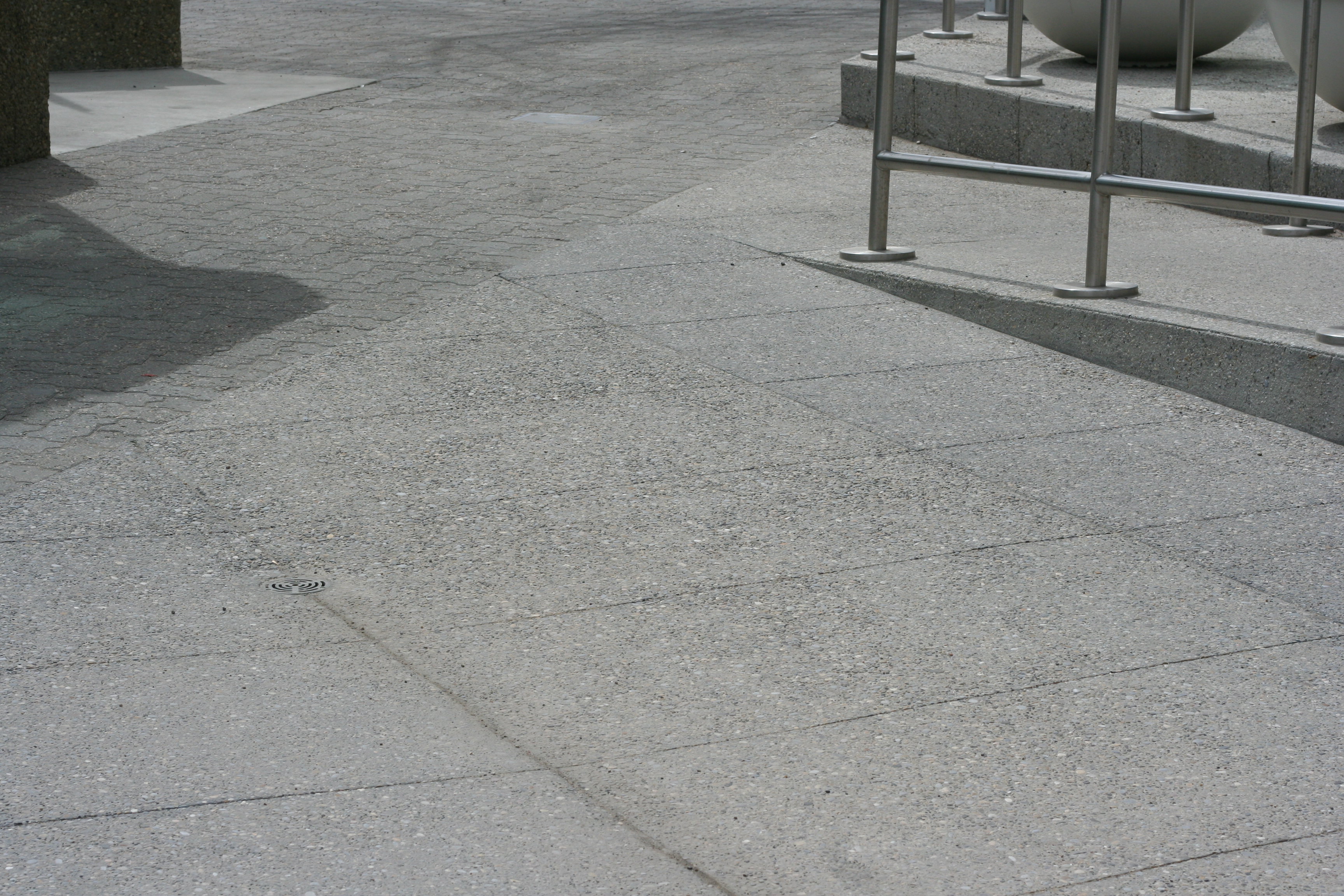
paved surfaces along Jasper Avenue
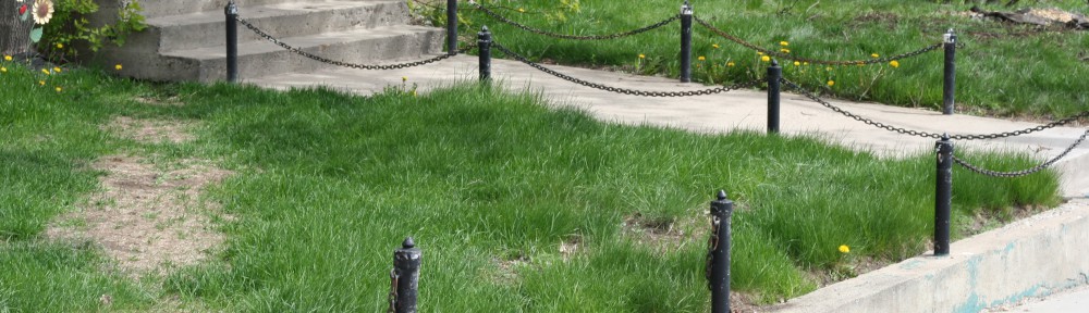
When I turned south off of Jasper ave, I had to walk several blocks before I started to encounter anything that looked like a desire line. The first thing that was anywhere close that I saw was this corner:
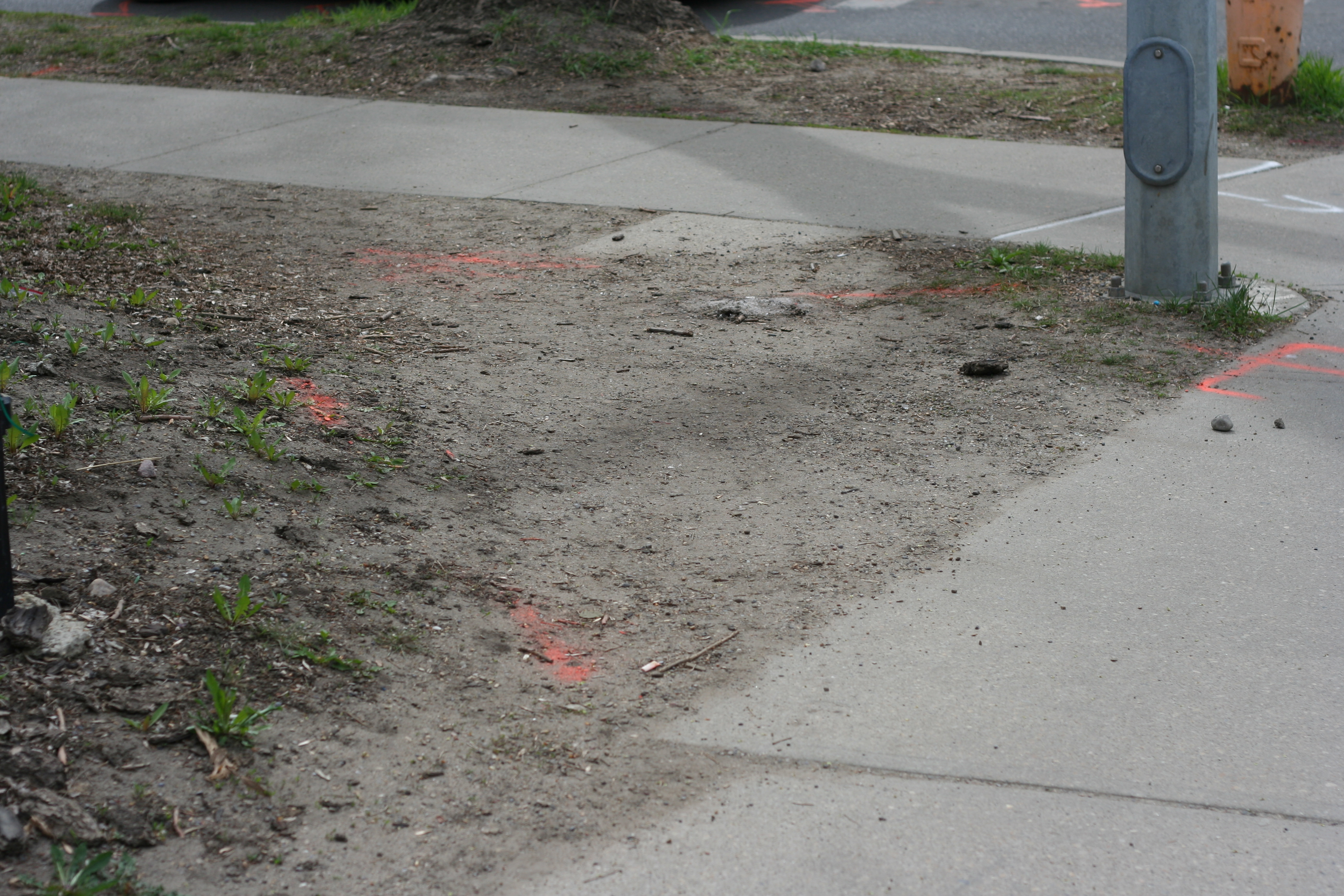
a cut corner
As I continued on my walk, I saw many other such junctions. It made me think about the turn of phrase “cutting corners” – it’s in the same vein as “shortcut”, but implies that by taking the shortcut, you miss out on something. The corner? I cut corners when I’m walking all the time – I’d definitely be one to choose this gravelly diagonal over the paved right angle.
As I walked further south, I found a number of clearer desire lines, which I charted with a GPS and photographed too. However, I’m still in the process of figuring out how to move that data onto my computer, so I’ll share those photos and my related speculations when I can show you the map as well!
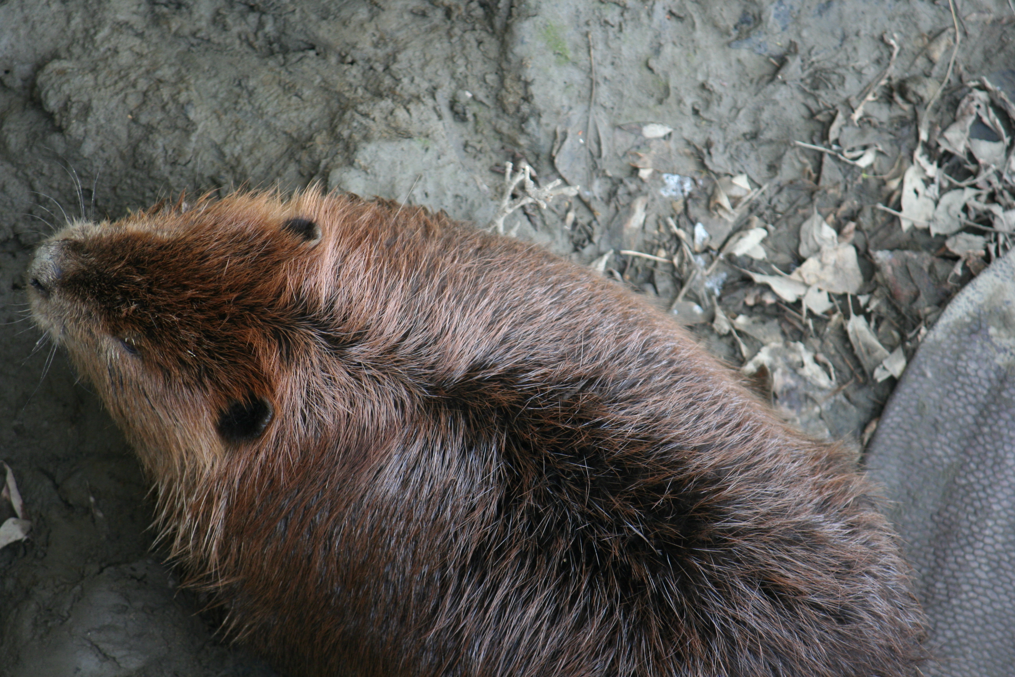
And yes, that is a beaver. I happened upon him when I was looking for more desire lines! By this point in my walk, I had made it all the way to the river. I took a pretty large loop through the area:
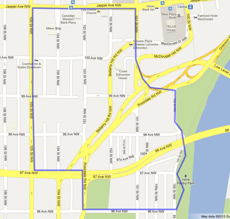
my approximate route
All that walking leaves a lot of time for thinking too, so I’ll finish off this post with a couple of questions that my footsteps led me to:
Do desire lines become undesirous in certain seasons or weather, when the grassless paths get muddy and wet? Could this lead to the formation of new desire lines?
Do all desire paths last through the winter, under the snow, or are some of them formed fresh every year? Will the lines grow clearer as the summer wears on?